The Canadian Shield Map v2.2

The Canadian Shield Map v2.2
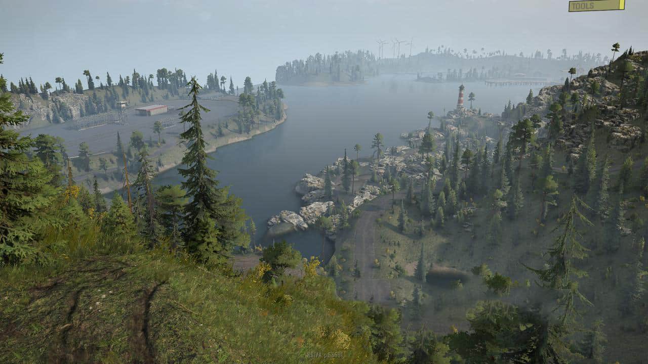
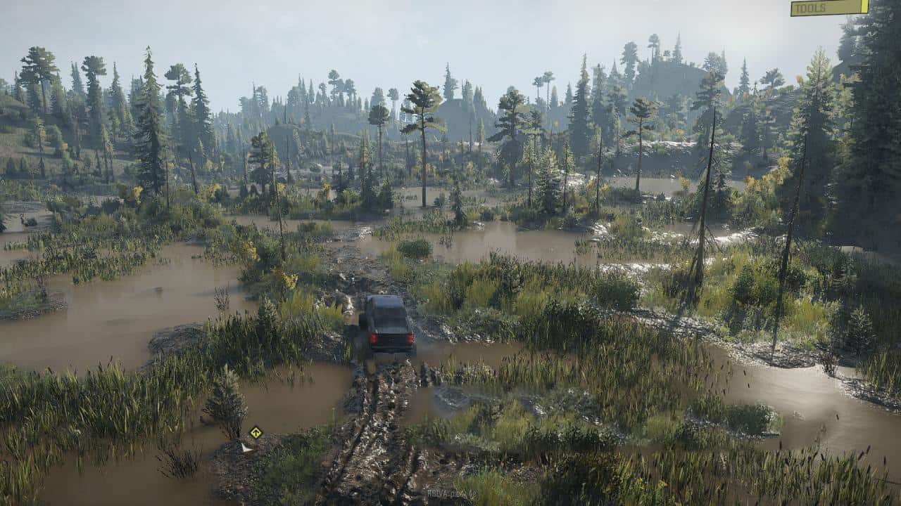
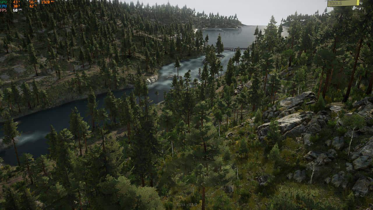
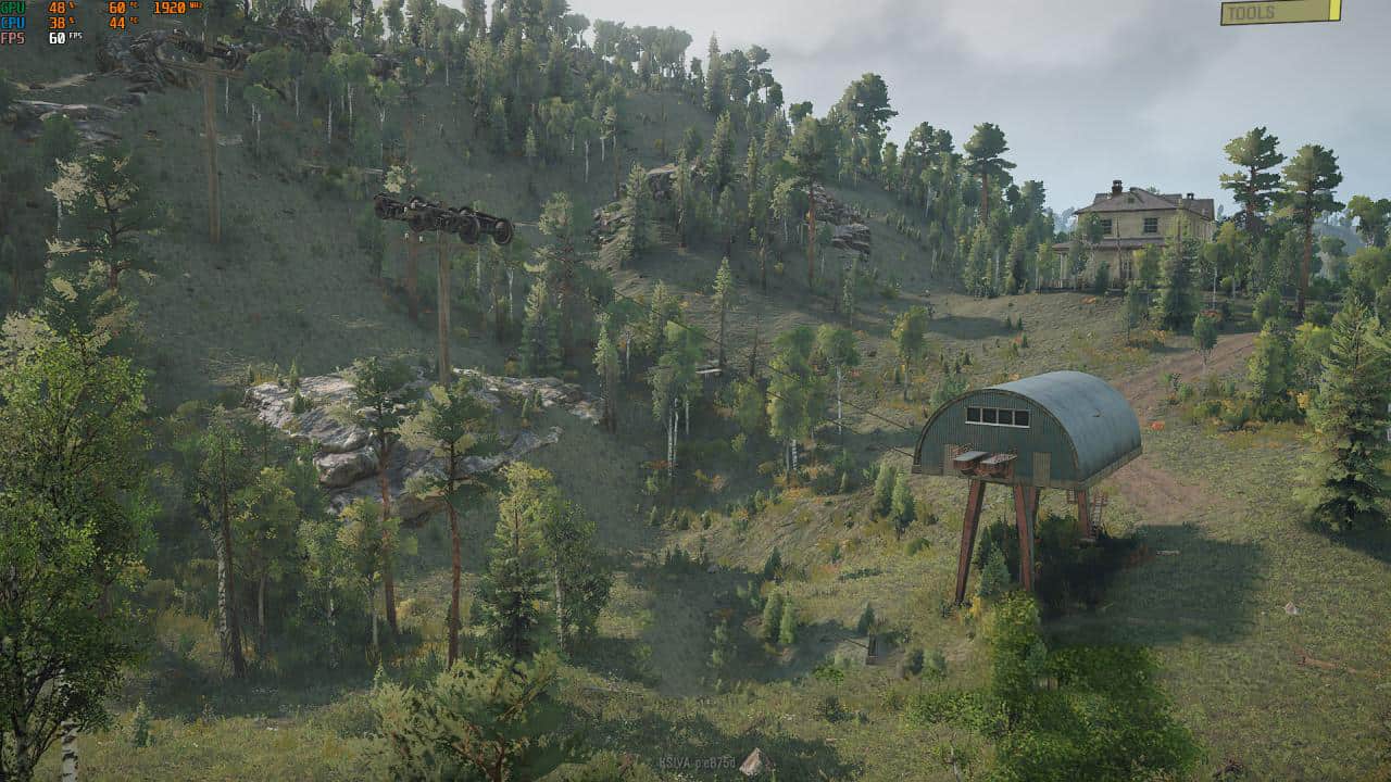
The Canadian Shield is one of the world’s largest continental shields, with an area of about 8 million square kilometers, mainly on the territory of Canada (eastern, central and northwestern). It consists of plates bounded by faults, with which the location of minerals is associated: iron, gold, copper, nickel, cobalt, uranium, lead, zinc ores, etc.
This region consists of 4 maps: Highrock County, Muskoka Highlands, an updated long road (now Northumberland County) and an all-new map, Glen Huffy Rise, all of the map titles are real-life and located in Ontario.
Attention! To start the region, you need to install this map and 2 more maps: Muskoka Highlands and Highrock County.
In the region:
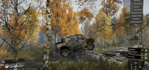
– 2 cars at the start;
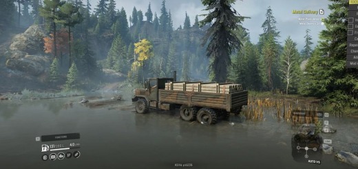
– a lot of cars and trailers in orders and contracts;
– 22 observation towers;
– 21 contracts;
– 63 orders;
– 1 competition.
The Northumberland map also has 20 vehicle upgrades.